SP1a - Protective Border Assessment/AGRA
SP1a - Protective Border Assessment/AGRA
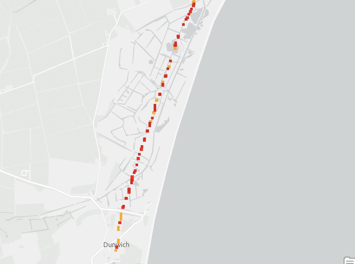
Coastline vulnerability assessment with 2D/3D modelling of areas deemed at risk of exploitation. Support is provided and advised to UN Maritime and International partners. The modelling is used to support hostile environments to police and aid disaster/evacuation plans. It has been successfully deployed in support of planned operations within CTP-Borders. Initial coastline vulnerability assessment executed within a short space of time can then give longer consideration to potential threat areas and be able to map and model these in much higher detail.
Original AGRA Assessment - Resource and Time heavy
New AGRA assent has been taught by an AI, the algorithm that has been put together using the same methodology as the original AGRA assessment completed by a human and then weighted depending on the area/region, but with huge speed advantages and far more economical.
Precise Location 3D modelling to show elevation, RGB and contours at targeted interest points.
High 3D detail of an island demonstrating high-resolution modelling of the coastline, including water depth.
High impact coastline modelling, initial coastline vulnerability assessment accomplished within a very short space of time using the AGRA algorithm, this will then unlock longer consideration to potential threat areas and be able to map and model these in a much higher level of detail.


