
National Security
Specialist Projects and Capabilities Working Group
Instituted in May 2022 under the governance of DCS Holdcroft: Head of CTP-Borders
Objective
To protect and safeguard the public from terrorism and state threats by integrating new and tested specialist capabilities within organisational operating models.
Invited Attendees The Working Group 1 Core:
United Nations, Interpol, Europol, MOD, JTAC, DFT, JMRC, Home Office, CTP (CTBOC/ Borders/ Protect/ PIP/ International), UKIC, Border Force.
Invited Attendees The Working Group 2 Wider Stakeholders: UK AIF Working GroupGovernance/ External Stakeholders/ Beneficiaries
Seniors, Legal, NCA, Territorial Policing, Portal Groups, Airport Groups, Maritime, Other areas of WG attendee organisations, Industry.


Specialist Project 1 (SP1)
Investigate, assess, advise and integrate ‘state of the art’ technical workstreams that are being designed and developed to support partners and international agencies across the spectrum of specialist applications within National Security, Law Enforcement, Military and Civil stakeholders.
SP1a - Protective Border Assessment/AGRA.
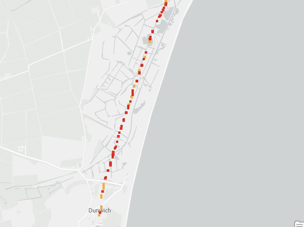
Coastline vulnerability assessment with 2D/3D modelling of areas deemed at risk of exploitation. Support is provided and advised to UN Maritime and International partners. The modelling is used to support hostile environments to police and aid disaster/evacuation plans. It has been successfully deployed in support of planned operations within CTP-Borders. Initial coastline vulnerability assessment done within a short space of time can then give longer consideration to potential threat areas and be able to map and model these in a much higher detail.

Orginal Agra Assesment - part of the uk
Agra assesment taught to an AI - on the same methodology as the orginal Agra assment but with huge speed advantages.
Precise Location 3-D modelling to show heights, RGB and contours at targeted interest points
3-D model you're able to move to precise points to view in full RGB
High 3D detail of an island showing high resolution modelling of coastline and even water depth
High impact coastline modelling, initial coastline vulnerability assessment done within a very short space of time using AGRA algarithom, this will then unlock longer consideration to potential threat areas and be able to map and model these in a much higher level of detail.
SP1b - Protective Vulnerability Assessments, Survey (Structure and Port Environment) and ‘Sentry’ capability
Photorealistic 3D modelling that enhances Contingency and Evacuation plans and is a highly effective briefing aid. Enables full and ongoing Risk assessment of sites such as MATRA for Ports. Interactive testing and exercising with overlays, utilising a Primary briefing system, allows a highly developed product in support of CNI sites and proposed Protect Duty. The product can be used as ‘live time’ support to Border Policing, responders, partner agencies and Military Assets. A ‘sentry’ capability is under development. A workstream is being developed to support maritime assets.
Specialist advisers within specialist military units and CTP enhances the full range of tactical and technical options.
Use of 2-D and 3-D modelling to show planning tool with overlays volumetrics even reporting
Fly through point cloud at Mill Bay port in Plymouth

Airport survey showing heights and volumetrics


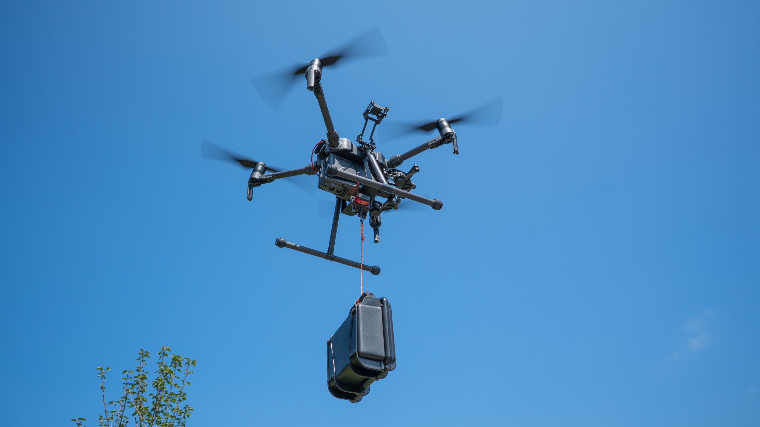
Several specialist applications have been used to support operations by land and sea, inclusive of theatres of War. The capability can be deployed in a variety of roles and has been used both domestically and globally. Enhanced imagery, safety, night and thermal and additions has provided tactical capability to anti-piracy work giving long-range visual on inaccessible locations whilst also providing ‘live feed’ to Commanders in both Overt and Covert roles.

Laser Scan


We are in the advanced stages of development of live mapping, tracking and visualisation technology that has come from a need within specialist military groups and law enforcement.
Strategic Planning Objectives ( Protect Duty ready) Deployment / Interdiction Post Incident Review and Revise
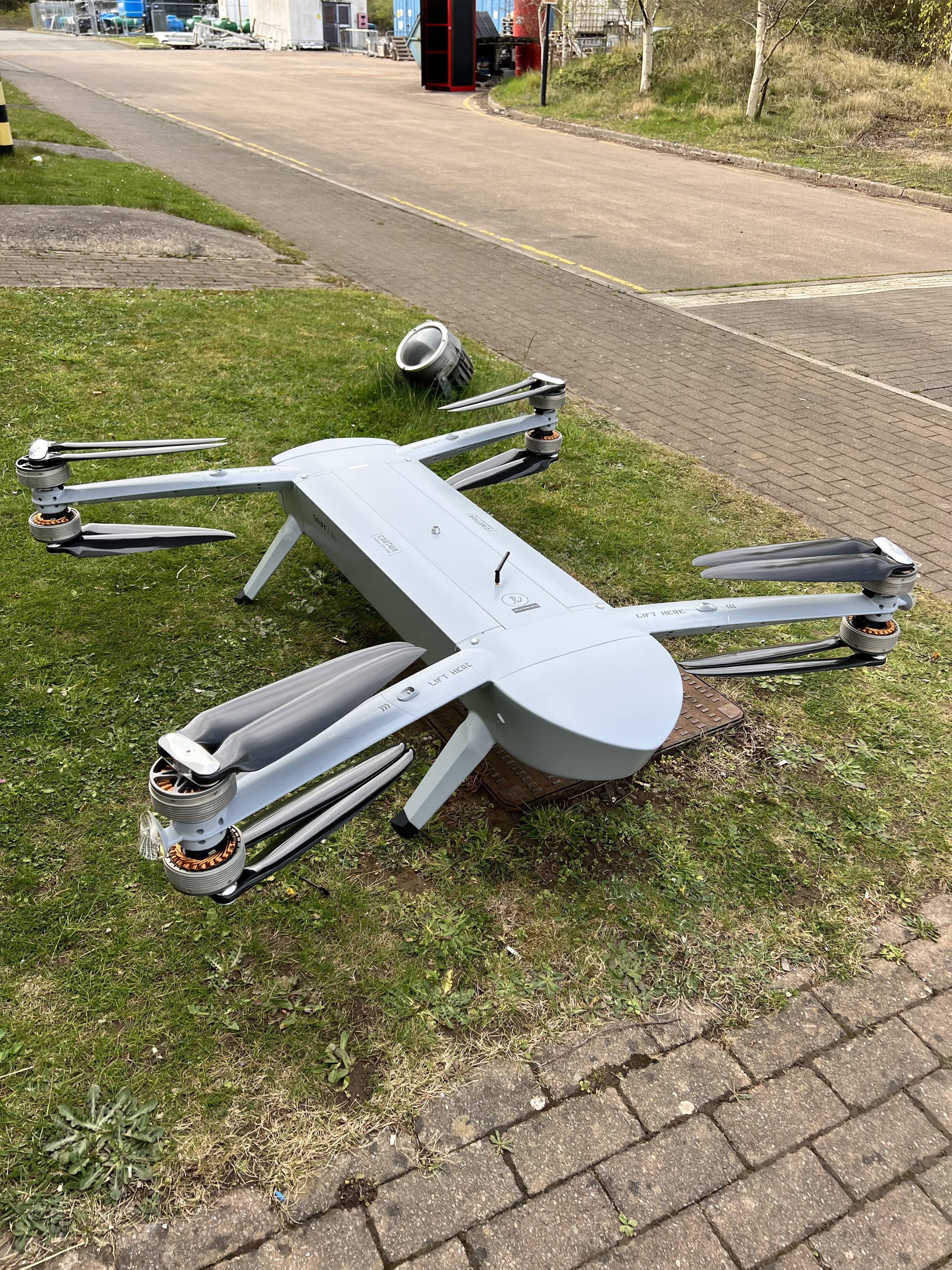
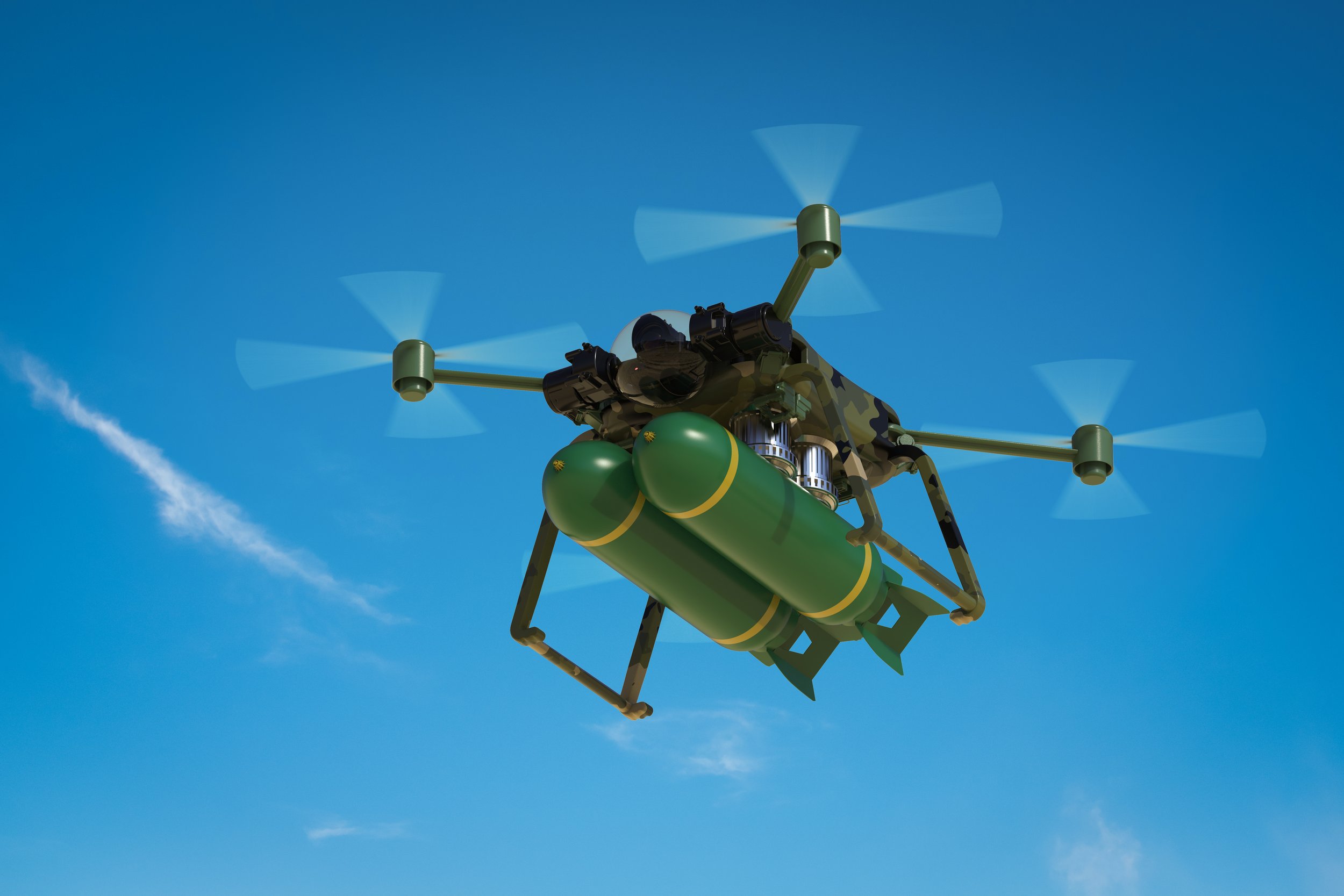
SP1c - Maritime and Drone capability / Tactical
specialist applications have been used to support operations by land and sea, inclusive of
theatres of War. The capability can be deployed in a variety of roles and has been used both
domestically and globally. Enhanced imagery, safety, night and thermal and additions have provided
the tactical capability to anti-piracy work giving long-range visual on inaccessible locations whilst also
providing ‘live feed’ to Commanders in both Overt and Covert roles.
Advances to support weaponised tech - WIFI sniffing – heartbeat detection – high risk and confined space search and mitigation & Thermal zoom capabilities.


SP1d - Confined Space and search capability
Provides complete safety application without the human search. Intrinsically safe and additions to capability can be provided subject to tasking requirements, eg oxygen and methane detectors, camera
and live feed. Tactical capability to support High Threat areas of operation. A sub surface/underwater
remote operated vehicle ROV used to support search and dangerous environments, without the
requirement for divers.

SP1e - Training
Training packages are provided to International Law enforcement, Military and UK Police authorities
and are bespoke to individual requirements by the provider. Any specialist technical equipment and
applications/products can be delivered by the provider and governed by relevant licencing authorities
and authorisations.


SP1 – Ongoing
The development, capability, and strategic and tactical applications of SP1, within individual specialist
roles and organisations will be explored and discussed within the working group, which will enable
experiences and expertise to mature and continue to be shared in strategic planning and assessment,
operations and training in support of National Security requirements.
Last comments
“ In a recent speech, Chief of Naval Research Rear Admiral Lorin Selby said “data is the new oil. Software is the new steel.” This is a brilliant analogy for the importance of information and advanced software needed to fuel our future warfighter and achieve Joint All Domain Command and Control (JADC2). This sentiment was reinforced in the recently released Department of Defense (DoD) JADC2 Strategy.
As DoD continues to advance JADC2, it must contend with how to create a truly joint approach while avoiding the pitfalls of past attempts at joint systems. Over the past two decades, DoD has made multiple, largely unsuccessful attempts at creating joint systems. These systems were criticized for being monolithic, failing to meet service-specific requirements, and challenged to obtain widespread user adoption.
The fundamental flaw with previous attempts stemmed largely from culture and bureaucracy. The way services organize, train and equip their forces and how they compete for resources to do so resulted in individual and often duplicative efforts rather than interoperable, enterprise capabilities. In other words, each service created a new system or platform to solve their piece of the joint puzzle and then relied on the users – often at the COCOM and warfighting level - to stitch together a joint solution. “